From prehistoric origins to the modern era—discover the turning points, lost empires, and breakthroughs of world history through interactive timelines and visual guides.
Examine the tangible relics, physical tokens, and revolutionary machines that shaped civilizational growth.
🎥 VIDEO HUB & SHORTS
Watch visual summaries, site intros, and mini-documentaries chronicling 300,000 years of world history.
📊 HISTORICAL INFOGRAPHICS ARCHIVE
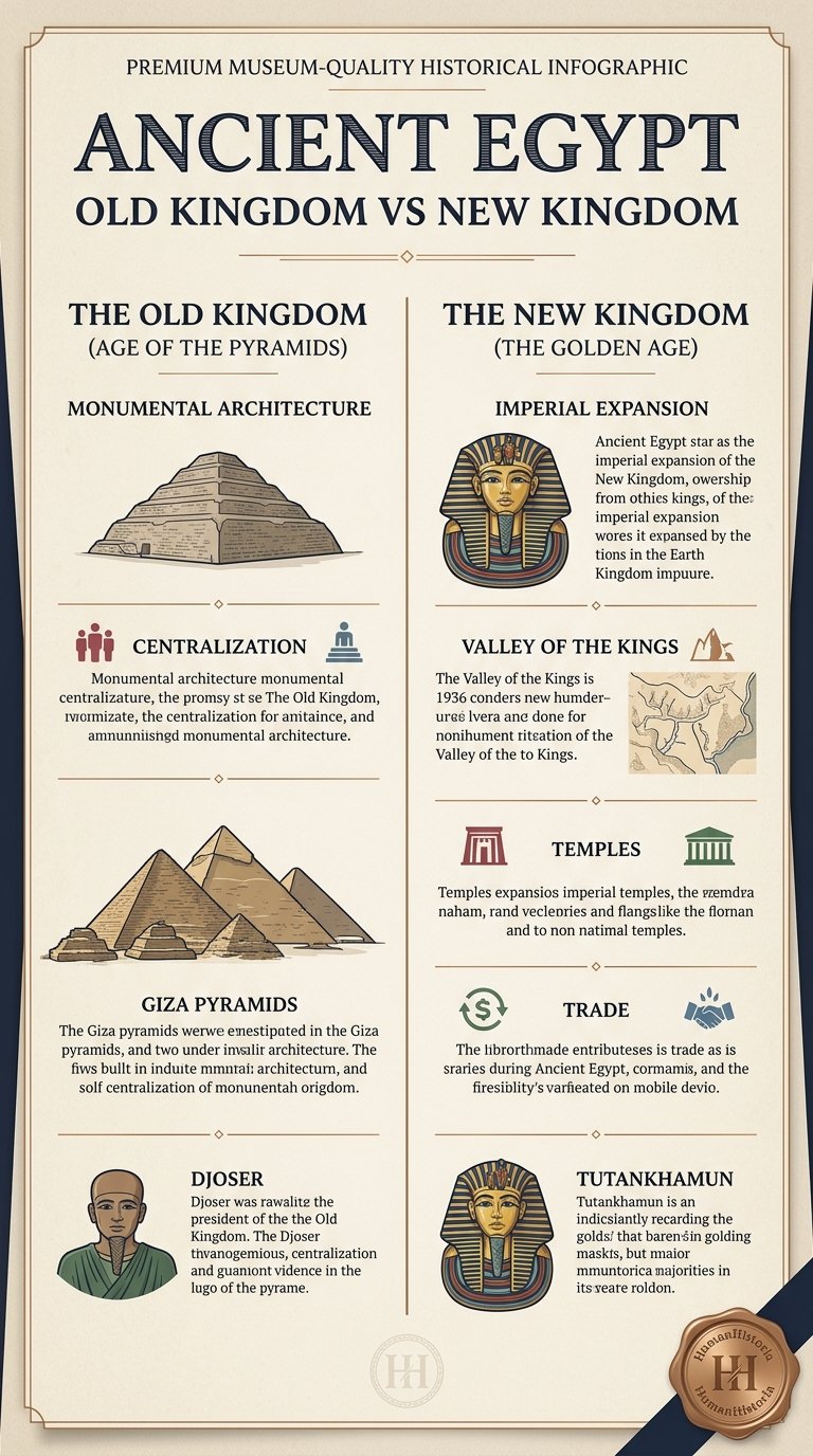
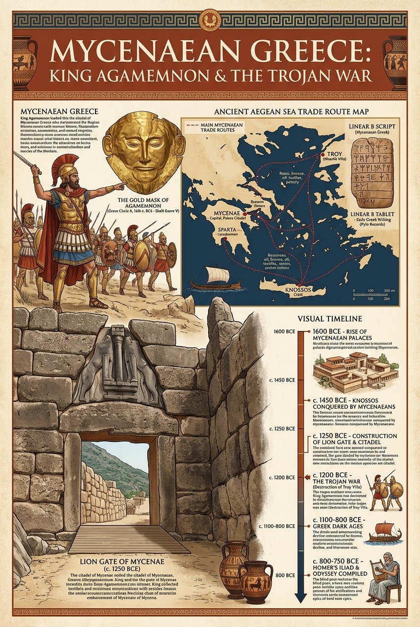
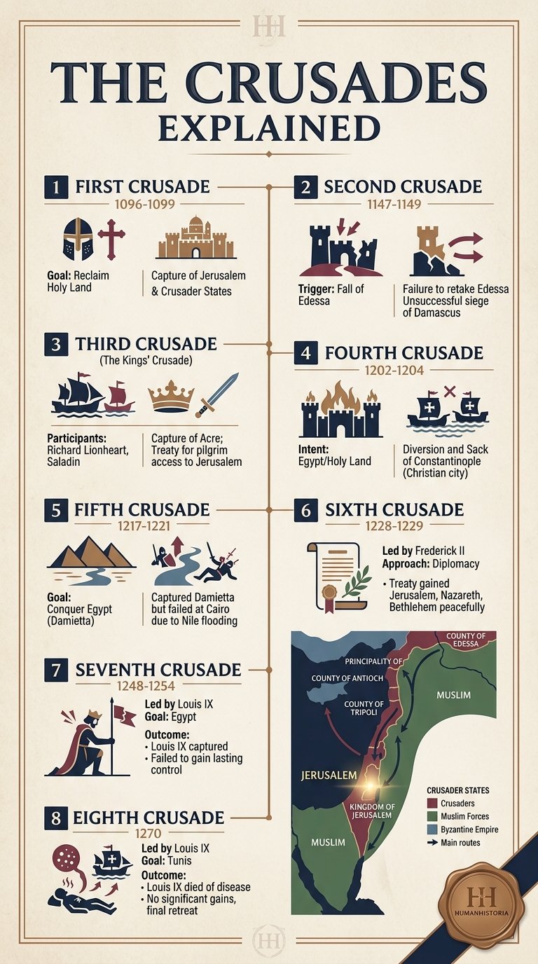
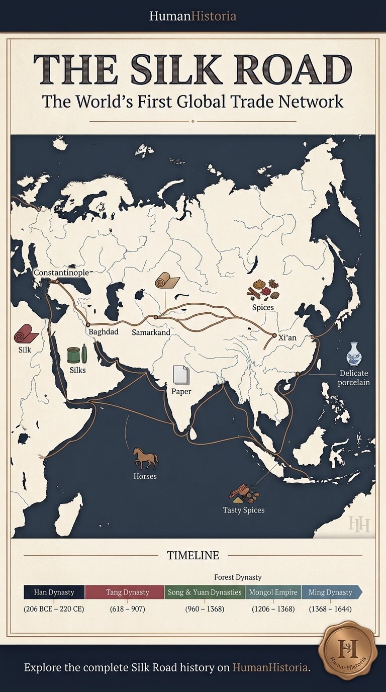
Museum-grade visual graphics, civilizational timelines, and architectural breakdowns curated for educators and history lovers.
THE HISTORIA CIRCLE
Join the collective discussion, study logs, and contributions of fellow historians mapping humanity's path.
Historia Forum Discussions
Start a Discussion Thread
THEMATIC PATHWAYS
Trace a single thread — disease, trade, energy, migration — across all eras and civilizations.
History is not just a sequence of events — it is a network of patterns. These thematic pathways allow you to follow a single concept across thousands of years: how agriculture spread, how warfare evolved, how trade routes shaped civilizations. Each pathway collects the most relevant chronicles across all eras.
🧩
How is this different from the sidebar Topics?
While the sidebar Topics (like Science & Tech or Empires) filter articles within your selected historical Era, Thematic Pathways cut horizontally across all eras (from Prehistoric to the Future). Use Themes to trace a single concept's evolutionary line across 300,000 years.
CIVILIZATION HUBS
Comprehensive profiles of the world's greatest civilizations and empires — from ancient cradles to global super-states.
Human Historia provides an academically rich exploration of the world's most influential civilizations. From the monumental achievements of ancient Egypt, Han China, and the Roman Empire, to the sophisticated societies of the Maya, the Islamic Caliphates, and West African empires, these hubs offer deep insights into the cultural, political, and technological legacies that continue to shape our global story.
EVOLUTION OF HUMAN SKILLS
Trace the compounding technologies, practical capabilities, and cognitive milestones of the human species.
Human progress is a story of compounding skills. Every breakthrough, from the spark of prehistoric fire to modern silicon transistors, builds directly on previous generations of ingenuity. Hover over a skill node to trace its historical prerequisites, and click it to explore its development timeline, species-wide impact, and related chronicles.
Prehistoric Ancient Medieval Modern Future
🧠
Select any skill node in the tree to explore its evolutionary path, development timeline, and historical impact.
ACADEMIC PASSPORT
Track your intellectual journey, quiz outcomes, and historical badges of honor.
HISTORIA PASSPORT⏳
👤Scribe Novice
Scholar NameHistoria Explorer
Rank RatingSumerian Record Scribe
Chronicles Read0 / 48
Study Guide Pins0 Guides
Security AccessLevel 1 (Novice)
Earned Badges of Honor
🔥
Fire Keeper
Unlock 3 prehistoric chronicles.
🏛️
Codex Keeper
Unlock 3 ancient chronicles.
🏰
Guild Master
Unlock 3 medieval chronicles.
⚙️
Steam Engineer
Unlock 3 modern chronicles.
🚀
Singularity Sage
Unlock 3 future chronicles.
👑
Grand Scholar
Score 5/5 on the Lab Quiz.
Recent Lab Activities
No recent activities recorded. Take a quiz or bookmark articles!
🏛️ MISSION & ARCHIVAL STANDARDS
About Human Historia
A visual encyclopedia and timeline of human history, dedicated to documenting 300,000 years of civilizational evolution through rigorous research, authentic artifacts, and visual clarity.
🌍
The 300,000-Year Story
Human Historia traces our collective journey across five historical epochs: Prehistory, Ancient Worlds, Middle Ages, Modern Age, and Future Horizons. From the first control of fire to quantum computation, we organize turning points into interconnected timelines.
📜
Historiographical Rigor
Every chronicle is built upon primary historical manifests, contemporary excavation reports, and peer-reviewed historical consensus. We prioritize authentic public domain artifacts and clearly identify scholarly debates surrounding major civilizational transitions.
🎨
Museum-Grade Visuals
Complex historical transitions demand visual understanding. We develop high-resolution infographics, architectural cutaways, and comparative territorial maps to transform abstract timelines into vivid, unforgettable learning experiences.
📖
Educational Access
Knowledge belongs to humanity. Human Historia is free, ad-light, and engineered as an educational resource for students, classroom educators, academic researchers, and curious minds across all continents.
Editorial Governance & Inquiries
We welcome peer reviews, academic corrections, museum archival collaborations, and educational partnerships. To submit historical inquiries or provide archival feedback, reach our editorial desk directly.
An immersive graphical anthology tracing the paths of civilizations, breakthroughs, and conflicts that forged the modern consciousness.
25Chronicles
Showing all articles
The Khmer Empire: Angkor Wat, God-Kings & Hydraulic Engineering
Written by Humanhistoria EditorialHistorical Era: MEDIEVAL
Imagine engineering a city of one million people in a landscape that drowns for six months and burns for the other six. The Mekong lowlands of what is now Cambodia receive an annual rainfall of roughly 1,500 millimeters — but almost all of it falls between May and October, when the Tonle Sap lake swells to five times its dry-season size and the surrounding floodplains become an inland sea. Then the water retreats, the land cracks, rice paddies turn to brick-hard clay, and the population that survived the flood must now survive the drought. For any agrarian civilization attempting to establish itself in this environment, the monsoon cycle was not merely a weather pattern but an existential adversary. The Khmer Empire, which dominated mainland Southeast Asia from the 9th to the 15th century CE, solved this problem through one of the most audacious civil engineering projects in human history: a network of reservoirs, canals, and distributary channels covering hundreds of square kilometers, storing the monsoon's excess and releasing it precisely when the land needed water most. At the center of this hydraulic civilization stood Angkor — a city whose stone temples survive in the Cambodian jungle as the most visited archaeological site in Southeast Asia — and around those temples sprawled an urban and agricultural landscape that, until satellite remote sensing mapped it in the 21st century, no one had fully understood.
🎯 Quick Historical Summary
What Was the Khmer Empire?
The Khmer Empire ruled Southeast Asia from 802 to 1431 CE from its monumental capital of Angkor in modern Cambodia. Governed by devaraja (god-kings) like Suryavarman II and Jayavarman VII, the empire built Angkor Wat and mastered a vast hydraulic network of canals and barays that sustained over 750,000 residents.
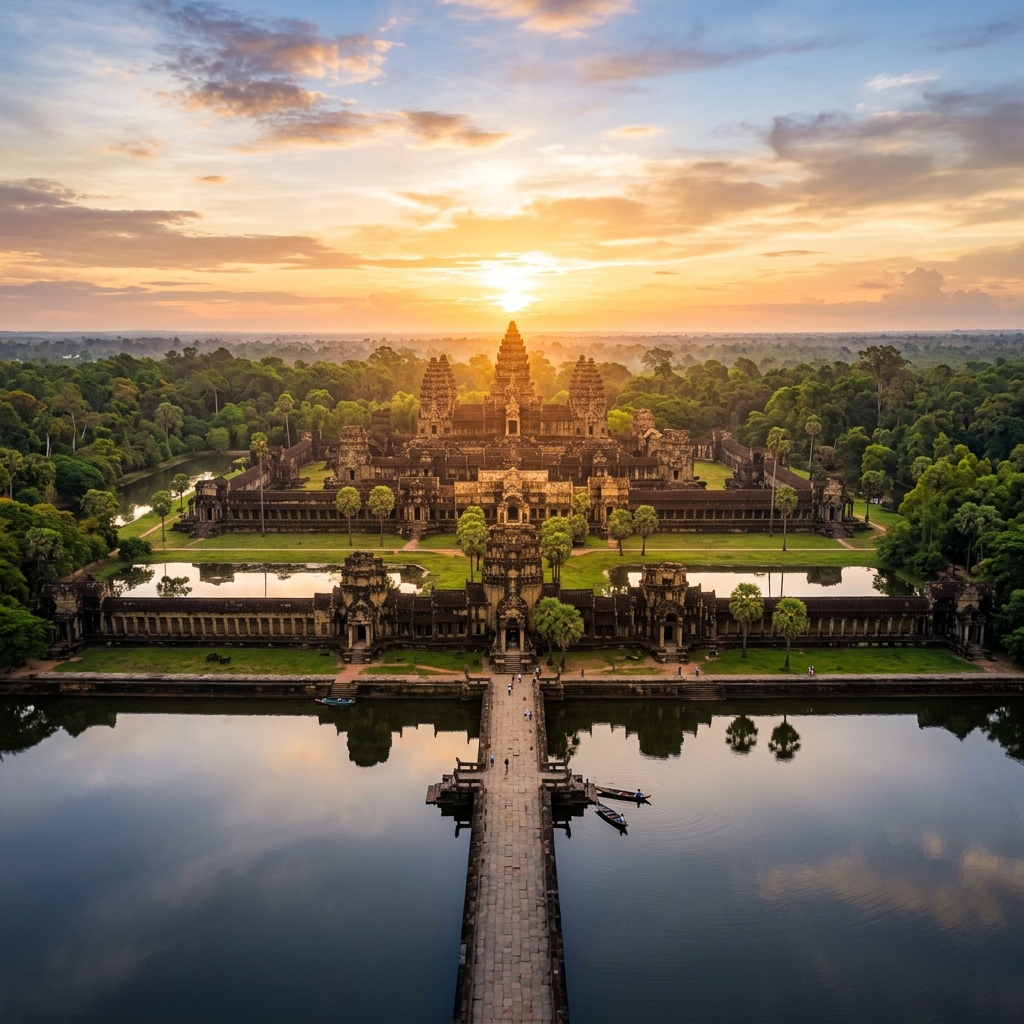
Angkor Wat temple complex and western moat at dawn, Siem Reap, Cambodia. Commissioned by King Suryavarman II (c. 1113–1150 CE). .
Historical Context
The Khmer state emerged from a complex of earlier polities known collectively to Chinese sources as "Funan" and "Chenla" — Sanskrit-influenced kingdoms along the lower Mekong whose precise political organization remains debated. What seems clear is that by the 9th century CE, a ruler named Jayavarman II had consolidated enough political authority across the Cambodian lowlands to declare himself a chakravartin — a universal sovereign — in a ceremony on the sacred mountain of Phnom Kulen in 802 CE. This event is conventionally treated as the founding of the Khmer Empire, though the "empire" of Jayavarman II's time was probably more a network of allied chieftainships than a centralized state.
Over the next two centuries, successive kings built temples, conducted military campaigns against neighboring polities (Champa to the east, the Mon kingdoms to the west), and — crucially — began developing the hydraulic infrastructure that would eventually make Angkor's scale possible. The construction of the first major baray, the Indratataka ("Indra's pond"), under Indravarman I in the 880s CE, was a political statement as much as an engineering project: it demonstrated that the king could command the water, and by extension, could guarantee the rice harvest. In a world where harvest failure meant death, this was kingship of the most fundamental kind.
At its territorial maximum in the 12th century, under Suryavarman II (builder of Angkor Wat) and Jayavarman VII (builder of Angkor Thom and the Bayon), the Khmer Empire controlled territory encompassing modern Cambodia, most of Thailand, southern Laos, and parts of Vietnam — a domain of perhaps two million square kilometers with a population that historians estimate at somewhere between five and ten million people.
Why It Happened: Mastering the Monsoon
The hydraulic system around Angkor was not built all at once. It accumulated over five centuries of construction, modification, repair, and expansion, driven by the consistent pressure of feeding a growing urban population in an environment that provided water in the wrong quantities at the wrong times. Understanding why it happened requires understanding the specific agricultural challenge the Khmer faced.
Rice, the staple crop, needs standing water for the first months of its growth but must drain before harvest. The monsoon provides standing water in abundance — too much, often, flooding paddies before they can be managed — but by the time harvest season arrives in November and December, the water has already retreated. A second dry-season crop, which might double food production, was impossible without irrigation. The solution was a system of massive earthen reservoirs (the barays) that could capture and hold monsoon runoff, flanked by a network of canals (the speans and tataus) that distributed that stored water to surrounding paddies on demand. The East Baray, constructed in the early 10th century, measured roughly seven kilometers by 1.8 kilometers and held around fifty-five million cubic meters of water. The West Baray, larger still — eight kilometers by 2.2 kilometers — was for centuries the largest artificial reservoir in the ancient world.
The archaeologist Christophe Pottier and the Greater Angkor Project, using airborne laser scanning (LiDAR) surveys conducted from 2012 onward, revealed that the hydraulic network around Angkor was far more extensive than anyone had previously imagined — a dense lattice of channels, embankments, and managed waterways covering at least a thousand square kilometers and connecting the urban core to satellite agricultural settlements across the floodplain. The scale of this revealed system prompted Roland Fletcher, co-director of the Greater Angkor Project, to describe Angkor as the "world's largest pre-industrial city" — a claim that, while contested on methodological grounds, captures something real about the ambition of what the Khmer built.
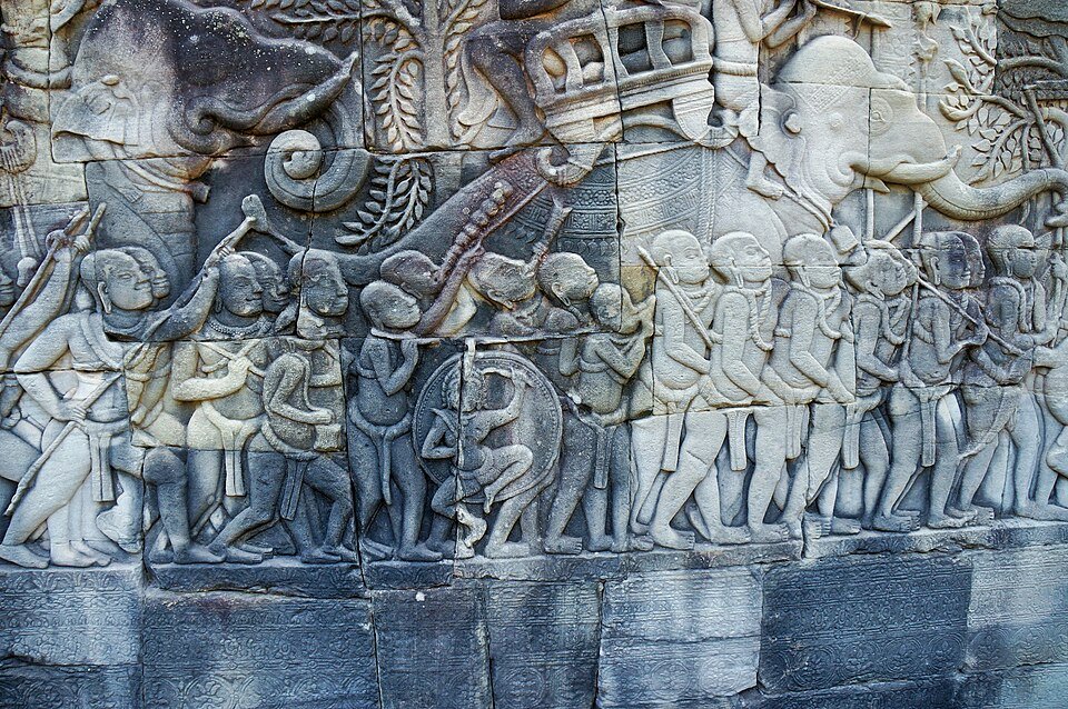
Bas-relief carving at the Bayon temple, Angkor, depicting Khmer soldiers and naval battles. .
Which Empire Built Angkor Wat? Suryavarman II and the Khmer Golden Age
The empire that built Angkor Wat was the Khmer Empire (also known as the Angkorian Empire), which flourished across mainland Southeast Asia from 802 to 1431 CE. Commissioned around 1113 CE under King Suryavarman II and largely completed by his death around 1150, Angkor Wat stands as the largest religious monument in world history, covering approximately 400 hectares—larger than central Paris within its historic ring roads. Its concentric rectangular galleries, separated by wide protective moats and linked by sandstone causeways, enclose a central tower complex whose five peaks represent Mount Meru, the cosmic mountain at the center of Hindu and Buddhist cosmology.
Whether or not every mathematical correspondence Mannikka identified was intentional (and other scholars, including Peter Sharrock, have questioned the more elaborate claims), it is clear that Angkor Wat was conceived as a total statement of Khmer royal ideology. The nearly two kilometers of bas-relief sculpture on the gallery walls depict scenes from the Ramayana and Mahabharata, the legendary military victories of Suryavarman himself (shown reviewing his troops in a famous panel that is one of the earliest portrait-like representations of a Khmer ruler), and the great churning of the cosmic ocean that produces the elixir of immortality — a myth whose political meaning, in a kingdom dependent on managing water, was anything but abstract.
Key features of the Angkor hydraulic and architectural complex:
The West Baray — 8 km × 2.2 km reservoir, capable of storing 70 million cubic meters of water; still partially filled today
The Angkor Thom moat — 100-meter-wide water barrier enclosing the royal city, fed by the baray system
Preah Khan — a vast temple-monastery complex built by Jayavarman VII housing over 100,000 officiants and servants, according to its foundation stele
The hospital chapels — Jayavarman VII established 102 hospitals across the empire, whose standardized stone inscriptions survive and document a sophisticated medical system
The road network — paved royal roads connecting Angkor to provincial centers, with rest houses every 15 km, documented in Chinese and local inscriptions
Zhou Daguan's Remarkable Eyewitness Account
In 1296, a Chinese diplomat named Zhou Daguan arrived at Angkor as part of a mission from the Yuan Emperor. He stayed nearly a year and later wrote The Customs of Cambodia — the only detailed contemporary account of Angkor at its height by an outside observer. Zhou described a city of extraordinary density and activity: gold-covered towers visible from miles away, a king carried on a golden palanquin surrounded by women holding parasols, markets where goods from across mainland Southeast Asia changed hands, elaborate religious processions, and — with the prurience characteristic of Chinese travel literature of the period — detailed observations about local sexual customs. He noted that the capital's population was enormous, though he gave no number that historians can verify. His account, translated into French by Paul Pelliot in 1902 and into English by Peter Harris in 2007, remains the essential textual complement to the archaeological record.
Social & Human Effects: Life in the Hydraulic City
Zhou Daguan's account gives us an unusually vivid picture of daily life in 13th-century Angkor. He describes a society organized around a clear hierarchy — Brahmin priests (the Brahmanas, who advised the king), Buddhist monks, a warrior aristocracy, merchants, and a mass of commoners who farmed the irrigated paddies — but one that was not rigidly caste-stratified in the Indian sense. Women, he noted with some surprise, had a significant role in trade: it was women who managed the markets, conducted commercial transactions, and handled household finances. This observation is consistent with the epigraphic evidence from Angkor's temples, where female figures are depicted with a prominence unusual in contemporary Asian art, and with the inscription from the temple of Ta Prohm (built by Jayavarman VII around 1186) that lists among the temple's dependents 18 senior priests, 2,740 officiants, and 615 dancing girls.
Slavery existed in Angkor — Zhou mentions it explicitly — but the system was embedded in the temple economy rather than being a purely extractive agricultural institution. Temples owned slaves who performed ritual functions, maintained temple buildings, and worked the temple's landholdings. Inscriptions suggest that some slaves could accumulate enough property to make donations to temples themselves, indicating a degree of social mobility that complicates simple categorizations. The question of how the vast workforce that built Angkor's monuments was organized — whether through state labor mobilization comparable to the Inca mit'a, through temple slavery, or through some mixture of both — remains an active area of research.
One detail from Zhou Daguan has haunted Angkor scholarship for decades: he mentions that ordinary houses were built of wood and thatch, while only the king's palace and the temples were permitted to be built in stone. This royal monopoly on permanent architecture means that the entire residential city of Angkor — the streets, the markets, the homes of merchants and artisans and farmers who made a city of perhaps a million people function — has vanished without a trace. What we see at Angkor today is the ritual and administrative skeleton of a vast urban organism whose living flesh existed only in perishable wood, bamboo, and palm leaf.
Economic Consequences: Rice, Surplus, and Imperial Power
The hydraulic system was, ultimately, an engine of agricultural surplus, and surplus was the engine of everything else. Khmer inscriptions record donations of land, animals, and servants to temples in quantities suggesting an agrarian productivity that could support a very large non-agricultural population — the priests, soldiers, craftspeople, dancers, scholars, and administrators who filled the capital and the provincial centers. Bernard-Philippe Groslier, the French archaeologist who first seriously proposed the "hydraulic city" model of Angkor in the 1970s (before the LiDAR surveys confirmed it), estimated that the irrigated system could have produced three rice harvests per year from some areas, compared to one for rain-fed agriculture. Even if this was achieved only in the best-managed areas, the productivity differential was enormous.
Angkor also sat at the intersection of overland and riverine trade routes connecting China to India — the maritime Silk Road's mainland equivalent. Chinese porcelain, Indian cloth, and Javanese spices passed through Khmer markets, and the empire extracted tolls on these flows. The Tonle Sap lake, whose annual fish harvest remains among the most productive freshwater fisheries in the world, provided the protein component of a diet otherwise dominated by rice. Khmer inscriptions mention dried fish as a commodity traded and taxed, and the fish paste (prahok) that is still a staple of Cambodian cuisine appears to have been produced in large quantities for storage and distribution — one of the ancient world's effective food preservation technologies.
⚖️
Historian Debate: Why Was Angkor Abandoned?
Climate Collapse View
The dominant scholarly view emerging from the 2010s holds that Angkor's decline in the 14th and 15th centuries was driven primarily by the failure of its hydraulic system under the stress of extreme climate events. Tree-ring records from Vietnam and dendrochronological studies by Brendan Buckley and colleagues (published in 2010 in the Proceedings of the National Academy of Sciences) identified severe drought episodes alternating with intense monsoon flooding between roughly 1345 and 1430. These exceptional climate conditions, it is argued, overwhelmed the baray system — silted up channels, breached embankments, undermined agricultural reliability — and triggered a cascade of food insecurity, political instability, and population flight.
Political Fragmentation View
Other historians, including Michael Vickery and more recently Miriam Stark, argue that the climate-collapse narrative is too neat and that political factors — particularly the rise of Theravada Buddhism, which undermined the ritual legitimacy of the god-king system, combined with the emergence of powerful new Tai kingdoms to the north and west — provide a more convincing explanation for Angkor's decline. The capital's shift toward Phnom Penh in the 15th century, they suggest, reflects the growing importance of riverine trade in the region and a rational economic decision by the Khmer ruling class, not a collapse forced by environmental crisis.
Scholars such as Brendan Buckley and Roland Fletcher (climate-hydraulic view) and Michael Vickery and Miriam Stark (political-cultural view) have shaped this debate through works including Buckley et al., "Climate as a Contributing Factor in the Demise of Angkor" (2010) and Stark, "Pre-Angkorian and Angkorian Cambodia" (2006).
"The palace, official buildings, and dwellings of the nobles all face the east. The palace stands to the north of the Golden Tower and the Bridge of Gold; its circumference is nearly one and a half miles. The tiles of the central dwelling are of lead; other buildings are covered with yellow pottery tiles. The lintels and columns, all decorated with carved and painted Buddhas, are immense. The roofs are impressive... To the left and right are two long porticoes."
— Zhou Daguan, The Customs of Cambodia (Zhēnlà fēngtǔjì), c. 1297. Zhou Daguan visited Angkor in 1296–1297 as a member of a Yuan dynasty diplomatic mission and produced the only detailed contemporary description of the city by a foreign observer.
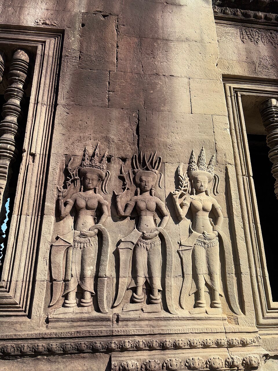
A stone carving of a celestial Apsara dancer on the walls of Angkor Wat temple. .
Long-Term Legacy
The Khmer Empire never disappeared — it contracted, shifted, and adapted. The modern Kingdom of Cambodia is its direct political and cultural successor, and Angkor Wat remains on the Cambodian national flag — the only building that appears on the flag of any nation — testifying to the continuing power of the Khmer architectural tradition as a symbol of national identity. The Khmer language is descended directly from the Old Khmer in which Angkor's inscriptions were written, and the legal customs, agricultural practices, and religious traditions of modern Cambodia are saturated with Angkor-era continuities.
For archaeology and the history of technology, Angkor's hydraulic system has taken on a new significance in the 21st century. The LiDAR surveys that revealed its full extent have fundamentally altered how scholars think about pre-modern urbanism: the "low-density agrarian urbanism" model proposed by Roland Fletcher and Damian Evans to describe Angkor — a city spread across a vast area at low residential density but high agricultural intensity — is now being used as a comparative framework for understanding other ancient cities in tropical environments, from Caracol in the Maya lowlands to the Khmer-influenced cities of mainland Southeast Asia. The question of how Angkor's sophisticated water management system eventually failed has also acquired uncomfortable contemporary relevance: as climate change intensifies the monsoon cycle's extremes across Southeast Asia, the story of a civilization that once tamed the monsoon and then lost its ability to do so resonates with a force that no purely academic narrative can quite capture.
Zhou Daguan (trans. Peter Harris) — A Record of Cambodia: The Land and Its People (2007). The essential primary source; Harris's translation is authoritative and well-annotated.
Eleanor Mannikka — Angkor Wat: Time, Space, and Kingship (1996). A controversial but path-breaking study of the astronomical and cosmological encoding in Angkor Wat's architecture.
Michael D. Coe — Angkor and the Khmer Civilization (2003). A reliable and readable general introduction by one of the pre-eminent archaeologists of pre-modern complex societies.
Damian Evans et al. — "A Comprehensive Archaeological Map of the World's Largest Pre-Industrial Settlement Complex at Angkor, Cambodia" (2007, Proceedings of the National Academy of Sciences). The LiDAR study that revealed the full extent of Angkor's urban footprint.
David Chandler — A History of Cambodia (4th ed., 2008). The standard political and cultural history of Cambodia from pre-Angkorian times to the modern era.
📊 Museum-Grade Infographic Poster
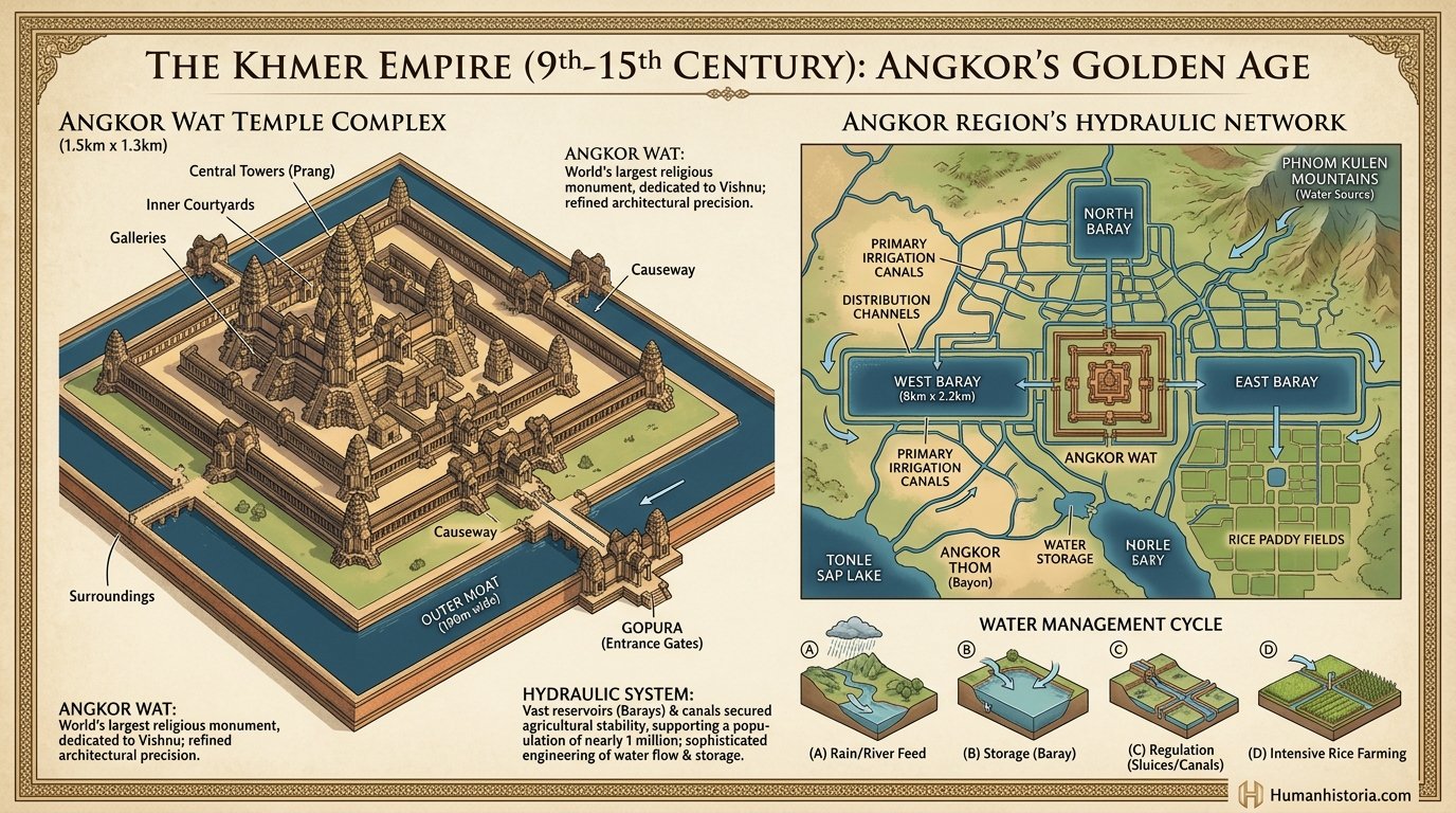
Khmer Empire & Angkor Wat Irrigation Infographic
💡 Click anywhere on poster to expand in high resolution🔎 Expand Lightbox
Engineering schematic mapping Angkor Wat's massive water storage reservoirs (Barays), hydraulic canals, and sand-stone towers.
📖 SCHOLARLY INQUIRIES
Frequently Asked Questions
Essential historical questions and evidence-based answers concerning this chronicle.
Q.Why did the Khmer Empire eventually decline?
Prolonged droughts followed by catastrophic monsoon flooding destroyed Angkor's delicate irrigation canals, accelerating regional warfare and the relocation of the capital to Phnom Penh.
Q.Which empire built Angkor Wat?
The Khmer Empire built Angkor Wat in the early 12th century (c. 1113–1150 CE) under King Suryavarman II in northwestern Cambodia. Originally constructed as a royal Hindu temple dedicated to Vishnu and a royal mausoleum, it remains the largest religious monument in the world.
Q.How large was the Angkor complex really?
2015 LiDAR aerial surveys revealed Angkor covered approximately 3,000 square kilometres—roughly the size of Los Angeles. The urban network included Angkor Wat, Angkor Thom, and hundreds of smaller temples connected by roads, canals, and reservoirs. The total population may have reached 750,000–1,000,000 at its peak, making it likely the largest pre-industrial city on Earth.
Q.What caused the Khmer Empire to collapse?
Collapse was multifactorial: repeated Thai (Ayutthaya) military raids in the 13th–15th centuries destabilized the political core; prolonged droughts (identified in tree-ring records) disrupted the hydraulic irrigation system; and the shift of trade from overland to maritime routes reduced Angkor's economic relevance compared to coastal kingdoms like Malacca.
Q.What is the religious significance of Angkor Wat?
Angkor Wat was built by King Suryavarman II as a state temple and mausoleum, oriented westward (associated with death and Vishnu) rather than east (the typical Hindu temple orientation). Its galleries depict scenes from the Hindu epics Mahabharata and Ramayana, as well as the king's military victories. After Angkor's fall, Buddhist monks maintained the complex, which is why it survived relatively intact.
📚 Academic Sources & Scholarly Bibliography
Higham, C. (2001).
The Civilization of Angkor.
University of California Press.
Chandler, D. (2008).
A History of Cambodia.
Westview Press.
Evans, D. et al. (2007).
A comprehensive archaeological map of the world's largest pre-industrial settlement complex at Angkor.
PNAS 104(36): 14277-14282. doi:10.1073/pnas.0702525104
📖 Scholar Mode Active — Click to exit focused reading
History Lab 🧪
Interactive historical deduction games, tactical matchup simulators, and currency calculators.
🕵️ Who Am I? (The Historical Guess Game)
A secret historical figure has been selected. Ask yes/no questions to narrow down the pool of candidates. Click any active card to make your accusation!
Secret Identity
❓ Who Am I?
Ask questions using the board below to narrow down my identity.
Ask a Question:
Question LogQuestions: 0 / 7
No questions asked yet.
Candidate Board:
🗺️ Timeline Scramble
Five historical events appear out of order. Click them in the correct chronological sequence — from oldest to most recent. How well do you know your history?
🏺 Relic or Fake?
Is this a real historical artifact or a convincing fabrication? Judge each one based on its description and era — then see the truth revealed!
Artifact 1 / 10Score: 0
Empire Matchup Simulator
Empire ATerritory Size (Peak, M km²)Empire B
00
Empire APopulation (Peak, Millions)Empire B
00
Empire AMilitary Power (Army Size)Empire B
00
Tactical Battle Analysis
Select empires and click simulate to run evaluations.
Historical Purchasing Power Converter
See what ancient coins are worth in modern terms and check their historical purchasing power.
Modern Value Equivalent
$0.00 USD
Historical Purchasing Power:
Select currency to view purchasing capability.
Historical Identity Generator
Forge an authentic historical identity from ancient civilisations, complete with linguistic meaning and biography.
Neutral
Gaius Julius
Meaning:Descendant of Jupiter
Historical Background:
A Roman citizen and clerk who worked in the forum under Roman republic rule.
Chrono-Cultural Fusion Simulator
Fuse the culture, technology, and governance of two legendary civilizations to synthesize a unique hybrid society.
Cohesion & Coexistence Rate
85%
🏛️ Hybrid Architecture
⚙️ Synthesized Asset
📜 Synthetic Governance
Historical Tactics & Trivia Quiz
Test your historical knowledge and battle tactics to claim your administrative rank.
8 Questions • Multi-Era
You will be presented with random scenarios and trivia spanning ancient Egypt, classical Rome, Islamic Golden Age, and the modern industrial era. Complete the evaluation to see your historical title!
Question 1 of 8Score: 0
What was the Code of Hammurabi written on?
Correct!
Evaluation Complete!
6 / 8
Correct
Rank Attained
Imperial Legionary
Your knowledge of classical strategy and administrative structures is respectable.
🎲 Counterfactual "What If?" Scenario Simulator
Explore alternative historical trajectories by tweaking key civilizational pivot points.
Simulated Shift
Selected Era
Prehistoric Era
Millions of years ago to ~3000 BCE
The dawn of humanity. From the evolutionary split of early hominids to the mastery of stone tools, fire, and the birth of language.
Landmark Milestones
Welcome to Historia
Enter your Scholar Name to synchronize your chronicles and save your journey.
 ⭐ Featured Chronicle

 ANCIENT AGES
 ANCIENT AGES
 ANCIENT AGES
 MEDIEVAL PERIOD
 MEDIEVAL PERIOD
 PREHISTORIC ERA